Using a list of Denver County addresses with latitude and longitude, I was able to generate a density map of the downtown area:
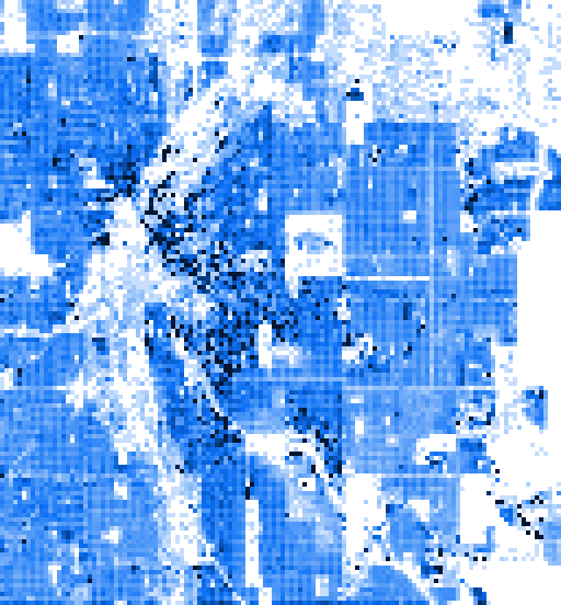
The low density area to the left of center includes Confluence Park, which is adjacent to the high density residential district of LoDo.
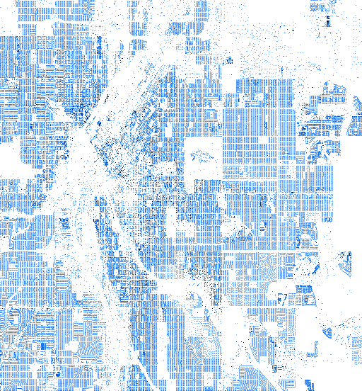
At a higher resolution, many of the high density blocks disappear as addresses are condensed in large loft and condo units.
I also had a list of Washoe County addresses with latitude and longitude:
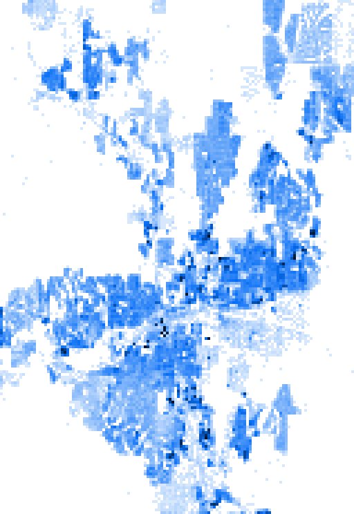
This map is approximately centered on the I-80 and I-580 junction. The large empty section just to the southeast of the junction is the airport.
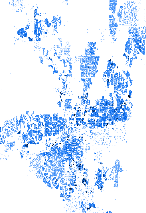
At higher resolution, the varying density of suburbs becomes apparent.
You can follow further development of this project on its GitHub page.